CONTACT US
  • Maritime

ROCKFLEET ASSURED

TRUSTED POSITION ASSURANCE ENABLED BY IRIDIUM PNT

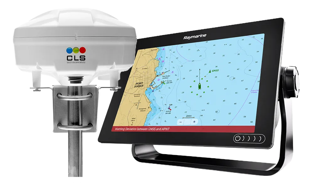
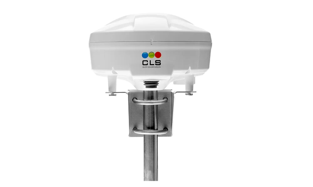
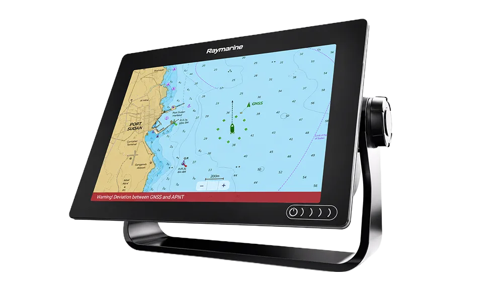
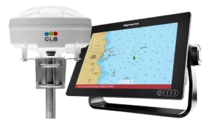
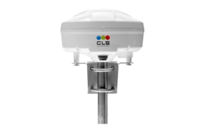
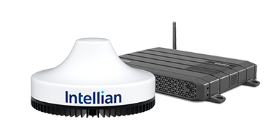
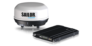
GNSS jamming and spoofing are no longer rare, isolated incidents. Vessels in high-risk or contested waters are encountering interference regularly, and a spoofed receiver can keep reporting coordinates that no longer reflect the vessel’s true position. RockFLEET Assured, built by Ground Control, pairs a marine-grade antenna with an independent Iridium PNT receiver, a signal up to 1,000 times stronger than GPS and resistant to spoofing thanks to built-in authentication, continuously comparing it against GNSS. Available as a Full Bundle with a Raymarine chart plotter for direct bridge visibility, or as an Antenna Only option feeding NMEA 2000/0183 data into existing systems, RockFLEET Assured gives bridge teams a trusted, always-on reference the moment GNSS cannot be relied upon.

Key Features

Independent Position Verification via Iridium PNT
GNSS Spoofing & Jamming Alerts
Bridge Chart Plotter Display
Flexible NMEA Integration
Marine-Grade, IP67-Rated Build
Continued Operation During Power Loss

SPECIFICATIONS

PHYSICAL & ENVIRONMENTAL

Form Factor: Low-profile marine-grade smart antenna, deck or pole mounted

Size: 201 mm diameter x 125 mm height

Weight: 1,460 g, including antenna and mounting bracket

Environmental Rating: IP67

Operating Temperature: -40°C to +70°C

Cable: Marine-grade, available up to 100 m

ELECTRICAL POWER

Power Input: Powered by vessel DC supply

Voltage Required: ADU 15–24V DC (cable 0–100 m); BDU 10–30V DC

AC Input: 220V AC via external power supply, kit/integration dependent

CONNECTIVITY

Satellite Transport: Iridium Messaging Transport (IMT), configurable 1–60 minute reporting

Bridge Data Feed: NMEA 2000 and/or NMEA 0183 output

Assured Positioning: Integrated Iridium PNT module (Accuracy: 25–100 m; subject to change)

Commissioning: Bluetooth LE mobile app for setup, configuration, and status reporting

CHART PLOTTER (FULL BUNDLE)

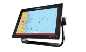
Display: Raymarine Axiom+ 9 chart plotter

Function: Shows Iridium PNT position alongside GNSS position, with track and status indicators

Cable: Supplied Raymarine NMEA connection cable

Product Materials

Language Type Last Updated Size
EN Brochure 27 Aug 2026 449.00 KB
  • Type Brochure
  • Language EN
  • Last Updated 27 Aug 2026
  • Size 449.00 KB
Let's Connect

Let’s Design the Right Connectivity Environment

Tell us where you operate, what needs to stay connected, and the challenges you’re facing. Our experts will help design the right combination of connectivity, managed services, and support to keep your operations connected, secure, and resilient.

This field is required

Please enter a valid number below

This field is required

This field is required

This field is required

This field is required